


RadarOmega is a sophisticated weather application that offers high-resolution radar data and advanced weather solutions for users across multiple countries including the United States, Canada, Germany, Australia, and South Korea. The app provides critical weather information through its unique cyclonePORT network, which features live video and sensor data.
Designed for various users such as meteorologists, emergency managers, and universities, RadarOmega delivers detailed radar animations, lightning detection, storm reports, and outlooks from authoritative sources like SPC, NHC, and WPC. With customizable map types, real-time alerts, and tools for analysis, it ensures comprehensive weather monitoring and forecasting.
Whether you need to track severe storms, tropical cyclones, or winter weather, RadarOmega equips you with the necessary tools to stay informed and prepared. Its subscription packages offer additional premium features for more in-depth weather analysis.
RadarOmega stands out with its extensive range of features tailored for weather enthusiasts and professionals. It offers high-resolution single-site radar data, 30-frame radar animations, and a 7-day radar history. Users can access lightning detection, 24-hour storm reports, and outlooks from the SPC, NHC, and WPC.
The app includes specialized data layers such as METARS, buoy data, and fire weather outlooks. With real-time NWS storm-based warnings and non-precipitation watches/warnings, users receive timely alerts. Additional tools include drawing, distance measurement, and sharing GIFs/videos of radar animations.
Premium subscriptions unlock advanced functionalities like hi-resolution satellite data, MRMS data, and volumetric radar. These tiers provide extended animation frames, dual and quad views, 3D radar/satellite, and model data with contours for various forecasting models, ensuring detailed and accurate weather analysis.
RadarOmega stands out in the weather app category by providing highly accurate forecasts and credible data. The application offers high-resolution radar data for multiple countries, ensuring users receive precise and localized weather information.
With features like 30-frame animations for radar, 7-day radar history, and real-time NWS storm-based warnings, RadarOmega ensures that its data is not only comprehensive but also timely. This level of detail aids users in making informed decisions regarding travel, outdoor activities, and emergency preparedness.
The inclusion of lightning detection, storm reports, and various outlooks from authoritative sources such as the SPC and NHC adds another layer of reliability to the forecasts. Users can trust the accuracy of the information provided, which is crucial during life-threatening weather situations.
One of RadarOmega's key strengths is its extensive temporal and spatial forecast range. The app provides detailed weather data across vast geographical areas including the United States, Canada, Germany, Australia, and South Korea.
Users benefit from features like the 3D radar and satellite views, surface analysis, and buoy data, which offer insights into both current and future weather patterns. This wide coverage allows individuals and organizations to prepare effectively for upcoming weather events regardless of location.
Additionally, subscription packages enhance this capability with extended radar history, storm report archives, and model data with contours. These advanced features ensure that users have access to long-term trends and historical data, empowering them to analyze and predict weather patterns accurately over both short and extended periods.
High-resolution radar data
Real-time weather alerts
Comprehensive storm tracking
Customizable map options
Advanced subscription features
Subscription fees apply
Complex for beginners
Limited free features
Requires internet connection
Some data region-specific

Personal Weather Station PRO - Meteo monitor to check your WU info and charts.
 4.20
4.20
Arrive safely! Travel weather forecasts for your entire trip at time of arrival.
3.60
Accurate weather forecast, daily weather changes are easy to grasp
4.90
Most precise & accurate compass app give true North South East West directions.
3.00
Road weather, live radar, wind, snow, and conditions along your driving route.
4.70
View weather widget and map. Wind direction and speed. Tides times and waves
4.70
Accurate, beautiful weather with landscapes depicting weather, sky, season.
4.50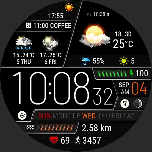
Weather watch face for Wear OS 5+
4.40
My Aurora Forecast Pro is the app for the Northern Lights and Aurora Borealis.
4.70
Local weather forecast app, your personal 7*24 local weather forecast assistant.
4.90
Live local weather updates: various widgets & radar maps & hourly forecast.
4.70
Track lightning strikes with our thunderstorms map, radar and lightning alarm.
4.70
Live weather forecast for your everyday life
4.60
Industry leading whitetail movement predictor & hunting app.
4.60
Weather radar map, storm tracker, local forecast, live rain alerts & daily news.
4.60
Accurate Weather App: various widgets, real-time storm radar, hurricane tracker.
4.50
Check forecasts, watch live news & track storms with FOX Weather.
3.80
Dynamic weather watch face with glass effect, bold time & 7 complications.
4.4
Detailed weather info and moon phase, subtle animation, customizable
4.2
User Reviews