


Precip is a sophisticated weather application that provides users with precise rainfall and snowfall data. Unlike generic weather apps, Precip uses high-resolution NOAA radar and advanced scientific models to deliver hyper-local accuracy. The app allows you to view precipitation totals for specific locations over the past 12 hours, 24 hours, 48 hours, and even longer durations.
One of the standout features of Precip is its live precipitation map, which visualizes rain or snow movement in real-time. This helps users understand current weather patterns and anticipate future conditions. Additionally, the app offers years of historical weather data, enabling comparisons with long-term averages and other locations. Whether you're managing a construction site, tending to a garden, or planning outdoor activities, Precip equips you with reliable weather insights.
Precip stands out due to its comprehensive feature set tailored for various user needs. The app's hyper-local accuracy ensures that users receive rainfall and snowfall data specific to their exact location or any point on the map. Its live precipitation map overlays provide dynamic visualization of weather movements, enhancing situational awareness.
In addition to current data, Precip offers extensive historical records, allowing users to compare yearly accumulations against long-term norms and other locations. For professionals who require detailed meteorological information, the app includes premium data layers such as snow depth, soil temperature/moisture, and wind speed. These features are particularly beneficial for farmers, builders, landscapers, and outdoor enthusiasts who depend on accurate weather data for decision-making.
The app also employs ensemble-powered forecasts, blending multiple weather models to produce more reliable predictions. With a clean and intuitive design, Precip prioritizes clarity and ease of use, ensuring that users can quickly access essential information without unnecessary clutter.
Forecast accuracy and data credibility are essential for any weather application, and Precip excels in these areas. The app uses high-resolution NOAA radar and advanced scientific models to provide hyper-local accuracy for rainfall and snowfall totals. This means you can see precise weather data for your exact location or anywhere on the map.
Precip's ensemble-powered forecasts blend multiple weather models from top sources, ensuring a reliable forecast rather than a single guess. This approach provides users with trustworthy information about upcoming weather conditions, empowering them to make informed decisions based on accurate predictions.
For professionals such as farmers, builders, and landscapers, having credible weather data is crucial. Precip's dedication to accuracy ensures that users can depend on its information for real-world applications, whether they're managing work sites, tending gardens, or planning outdoor activities.
The temporal and spatial forecast range is another standout feature of Precip. It offers detailed insights into weather patterns over various timeframes - past 12h, 24h, 48h, and even longer. This extensive historical data allows users to compare yearly accumulations against long-term norms and previous years, providing valuable context for current weather trends.
In addition to historical data, Precip provides live precipitation maps with overlays showing what's happening now and where it's headed. These dynamic visualizations enable users to track moving weather systems in real-time, enhancing their ability to anticipate local conditions accurately.
With multiple saved locations, users can monitor different areas simultaneously, receiving at-a-glance updates and detailed insights. This functionality is particularly beneficial for those overseeing properties or projects across various regions, ensuring comprehensive weather awareness regardless of location.
Hyper-local accuracy
Live precipitation map
Years of history
Premium data layers
Ensemble-powered forecasts
Paid features required
Limited free version
Advanced knowledge needed
Occasional data delays
Subscription cost

Weather for Indiana, Kentucky and Ohio
 4.90
4.90
Personal Weather Station PRO - Meteo monitor to check your WU info and charts.
4.20
Arrive safely! Travel weather forecasts for your entire trip at time of arrival.
3.60
Instant weather updates, easy to check anytime on your home screen.
3.50
Digital Weather Watch Face for Wear OS 5+
4.4
Download now and give your smartwatch a fresh, premium look!
4.20
Weather radar map, storm tracker, local forecast, live rain alerts & daily news.
4.60
Precision Weather, Right at Your Fingertips
4.40
Prepare for severe weather with notifications, future radar, and live alerts.
4.60
Hurricane Tracker, Rain Map
4.80
Track lightning strikes with our thunderstorms map, radar and lightning alarm.
4.70
Powerful US and worldwide earthquake feed with earthquake alerts and maps.
4.70
The most accurate weather app, hourly and daily weather, severe weather alerts
4.50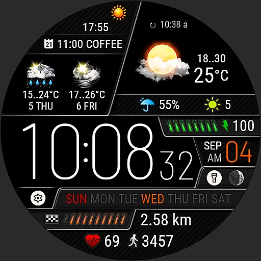
Weather watch face for Wear OS 5+
4.40
Local weather forecast, reliable daily weather report
4.30
Know the weather earlier.
3.90
Most precise & accurate compass app give true North South East West directions.
3.00
The Weather Network TV App - Your weather when it really matters
2.90
A tool that provides real-time and 5-day weather info.
4.2
User Reviews