


Zoom Earth is a premier interactive weather map application that provides real-time tracking of hurricanes, storms, and severe weather conditions. The app offers near real-time satellite imagery updated every 10-40 minutes from geostationary satellites like NOAA GOES and JMA Himawari, ensuring users have the latest visual data at their fingertips.
In addition to its satellite capabilities, Zoom Earth features advanced rain radar maps with Doppler technology for real-time precipitation detection and short-term forecasting. Users can explore various global forecast maps including temperature, wind speed, and atmospheric pressure, all powered by leading meteorological models such as DWF ICON and NOAA/NCEP/NWS GFS.
This application proves invaluable for monitoring natural disasters like wildfires through active fire detection overlays and GeoColor imagery. With comprehensive customization options and professional-grade tools available via Zoom Earth Pro subscription, it's an essential resource for both casual users and weather professionals alike.
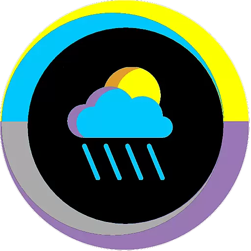
Zoom Earth stands out with its diverse range of innovative features tailored for weather enthusiasts and professionals. One of its core functionalities is the interactive weather map which includes detailed layers for rain, wind, temperature, and pressure, allowing users to visualize complex meteorological data easily.
The app excels in hurricane and storm tracking, providing clear and up-to-date information sourced from authoritative bodies like NHC and JTWC. Its wildfire tracking system uses NASA FIRMS data to display active fires and heat spots, complemented by GeoColor satellite imagery for monitoring smoke movement.
Customization is another strong suit of Zoom Earth, offering adjustable units for temperature and wind, multiple time zones, and various animation styles. Subscribers to Zoom Earth Pro gain access to additional premium features, enhancing the overall user experience and making it a versatile tool for in-depth weather analysis.
Forecast accuracy and data credibility are essential for any weather application, and Zoom Earth excels in these areas. The app provides continually updated weather forecast maps using the latest model data from reputable sources like DWD ICON and NOAA/NCEP/NWS GFS.
Users can explore various forecast maps including precipitation, wind speed, temperature, and atmospheric pressure. These maps offer detailed insights into upcoming weather patterns, ensuring users are well-prepared for changes in weather conditions.
The credibility of Zoom Earth's data is reinforced by its use of high-quality satellite imagery. Live images from NOAA GOES, JMA Himawari, and EUMETSAT Meteosat satellites are updated frequently, providing near real-time information. This reliable data empowers users to make informed decisions based on current and forecasted weather conditions.
Zoom Earth offers an impressive temporal and spatial forecast range, enabling users to plan effectively for short-term and long-term weather changes. The app covers extensive geographical areas with global forecast maps that include detailed visualizations of rain, snow, wind, and temperature.
With updates every 10 to 15 minutes from geostationary satellites and twice-daily updates from polar-orbiting satellites, the app ensures comprehensive coverage and up-to-date information. This frequency allows users to track severe weather events such as hurricanes and wildfires with precision.
In addition to broad spatial coverage, Zoom Earth provides various forecasting tools that enhance temporal awareness. Users can access forecasts for specific times of the day, helping them understand how weather patterns will evolve over hours and days, thus ensuring they stay informed and prepared for whatever nature brings.
Real-time weather updates
Interactive map interface
Comprehensive forecast data
Advanced satellite imagery
Customizable settings
Premium features require subscription
Limited free content
Occasional data delays
Highly technical for beginners
Resource-intensive on devices
Ultimate weather forecast + moon phase for Wear OS 5+ (Pixel, Galaxy, et al.)
 4.70
4.70
Weather - Local weather forecast, weather daily & hourly, weather radar
4.80
Accurate weather forecast, daily weather changes are easy to grasp
4.90
My Tide Times Pro is the only tide tables and forecasts application you'll need.
4.80
Local Weather provides accurate and current hourly and daily forecasts.
4.80
Accurate Weather App: various widgets, real-time storm radar, hurricane tracker.
4.50
Your ultimate app for real-time weather information!
4.70
All-in-one weather radar launcher with rain, temperature maps & local forecast.
4.30
Live NOAA weather app to track storm, rain, wind, lightning & real local updates
4.20
Weather radar, hyperlocal tracker and weather maps: follow your weather station
4.80
The moon phases app for tracking the lunar calendar, blue moon and full moon.
4.80
The reliable and trusted global air quality, wildfire, pollen, PM2.5 forecast
4.70
weather forecast, weather radar, weather widget in one local weather app
4.70
NOAA radar, weather forecasts, hurricane tracking & customizable alerts.
4.50
Weather related custom complications for Wear OS. UV, Hi-Lo, AQI and more!
4.40
Live weather radar, widgets & forecasts. Track rain, storms & temperature.
4.20
Stay Ahead Of Changing Weather Conditions
4.00
Arrive safely! Travel weather forecasts for your entire trip at time of arrival.
3.60
Detailed weather info and moon phase, subtle animation, customizable
4.0
User Reviews