


Weather Underground is a leading weather service that provides hyper-local weather data and forecasts. The app leverages information from over 250,000 personal weather stations to deliver precise current conditions and forecasts tailored to your exact location. With advanced features like Nexrad radar technology, customizable weather alerts, and detailed maps, it offers users an in-depth understanding of their microclimate.
The app's unique capabilities extend beyond basic weather reporting. Users can access specialized data such as air quality index, UV index, sunrise and sunset times, and Doppler radar imagery. Whether you need real-time storm tracking or planning for outdoor activities, Weather Underground ensures you are always prepared with accurate and localized weather information.
Weather Underground stands out with its proprietary forecast model and interactive weather maps. The app provides hi-res satellite imagery, cloud cover visualizations, and various map overlays including temperature, wind speed, and rain accumulation. These tools allow users to monitor weather patterns at an unprecedented level of detail.
In addition to its robust mapping features, the app offers smart functionalities like customizable alerts from NOAA and extended hourly forecasts up to 15 days. The premium subscription unlocks advanced features such as Smart Forecasts, which help users plan outdoor activities based on ideal weather conditions. This combination of precise data and user-friendly customization makes Weather Underground a powerful tool for weather enthusiasts and everyday users alike.
Weather data accuracy is crucial for making informed decisions in daily life and business operations. Weather Underground ensures forecast precision through a network of over 250,000 personal weather stations. These stations provide real-time updates from local sources, ensuring users receive the most relevant information for their specific location.
The application's proprietary forecasting model combines traditional meteorological data with localized inputs, creating a truly hyper-localized prediction system. This approach significantly improves the reliability of forecasts, especially for areas not typically covered by standard weather services. Users can trust the app to deliver accurate current conditions and reliable future outlooks.
With specialized features like Nexrad radar technology and Doppler imagery, the app offers professional-grade tools directly in users' hands. The integration of NOAA satellite data and GOES-16 cloud cover imagery further enhances the credibility of weather information. These advanced technologies enable users to monitor developing weather patterns with confidence.
The practical benefits of this precise forecasting system are numerous. From planning outdoor activities to preparing for severe weather events, users can rely on Weather Underground for dependable information. The app's commitment to data accuracy means users will always be prepared, whether facing unexpected rain showers or monitoring hurricane developments in their area.
Comprehensive weather forecasting requires both temporal and spatial accuracy. Weather Underground excels in this area by providing detailed predictions that span both time and geographic coverage. The app delivers hourly forecasts up to 10 days in advance, allowing users to plan their week with confidence.
The spatial coverage extends beyond typical weather services through its extensive network of personal weather stations. These stations fill the gaps between traditional airport-based measurement points, offering neighborhood-specific data. Users can access precise information about their immediate surroundings, including temperature variations and rain accumulation across different parts of their city.
Advanced mapping features enhance the spatial understanding of weather patterns. Interactive maps with various overlays, including satellite imagery and temperature heatmaps, provide visual context for weather developments. The hurricane tracker and storm radar offer specialized tools for monitoring severe weather systems as they approach and evolve.
This combination of temporal depth and spatial precision creates a powerful forecasting tool. Whether users need to know tomorrow's pollen count or track a developing storm system across multiple counties, Weather Underground provides the necessary information. The app's extensive coverage ensures users stay informed about weather developments both near and far, helping them make better decisions for their daily activities and safety preparations.
Hyper-local forecasts
Interactive weather maps
Real-time storm tracking
Customizable alerts
Detailed climate data
Premium subscription cost
Ad-heavy free version
Complex interface
Limited global coverage
Occasional data delays

Live local weather updates: various widgets & radar maps & hourly forecast.
 4.70
4.70
An unofficial app version of the National Weather Service (Weather.gov)
3.90
Live weather forecast for your everyday life
4.60
Get accurate rainfall and snowfall totals for pinpoint locations on a map.
4.60
My Tide Times Pro is the only tide tables and forecasts application you'll need.
4.80
The moon phases app for tracking the lunar calendar, blue moon and full moon.
4.80
NOAA forecast & radar for your exact location.
4.80
Your ultimate app for real-time weather information!
4.70
All-in-one weather radar launcher with rain, temperature maps & local forecast.
4.30
No ads, No data collected. Beautiful and powerfully customizable weather app
4.90
Ultimate Lunar Calendar for 2021!
4.80
Live Alabama weather from James Spann—forecasts, radar, alerts, Spanncams.
4.70
Road weather, live radar, wind, snow, and conditions along your driving route.
4.70
Prepare for severe weather with notifications, future radar, and live alerts.
4.60
Accurate Weather App: various widgets, real-time storm radar, hurricane tracker.
4.50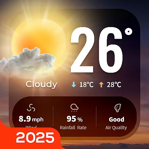
Your Trusted Weather Companion
4.40
Hyperlocal Forecasts, Live Radar, Severe Weather alerts & Homescreen Widgets
4.30
Accurate Local Weather Forecast, let you easily understand the nearby weather!
4.20
Global weather forecast, powered by layered radar & hourly weather updates
4.10
User Reviews